Rhizocarpon Geographic and Information Services Incorporated
Welcome to RGISI
We provide Data, Information and Analysis services to scientific, governmental and public service organizations.
Starting from a background in GIS, we realized that many of the downstream mapping problems were upstream information systems and processes and worked our way upstream to fix these issues as early as possible. We would like to do the same for you.
Our Services
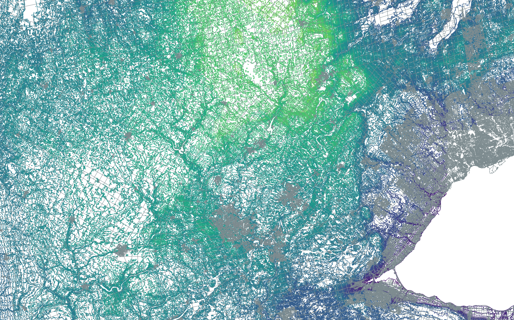
We specialize in open source software products like QGIS and R, inspired in part by our efforts to help organizations avoid vendor lock-in. If you need assistance in moving from a proprietary to open source option, we would be happy to help.
Please contact us at info@rgisi.ca
Our Projects
Currently assisting with the imaging pipeline at the Biodiversity Institute.
We are also working on QGIS map and data templates for Public Health - please check back shortly!